Proven survey methods and drone-assisted aerial counts for accurate, verifiable population data across the Scottish Highlands.
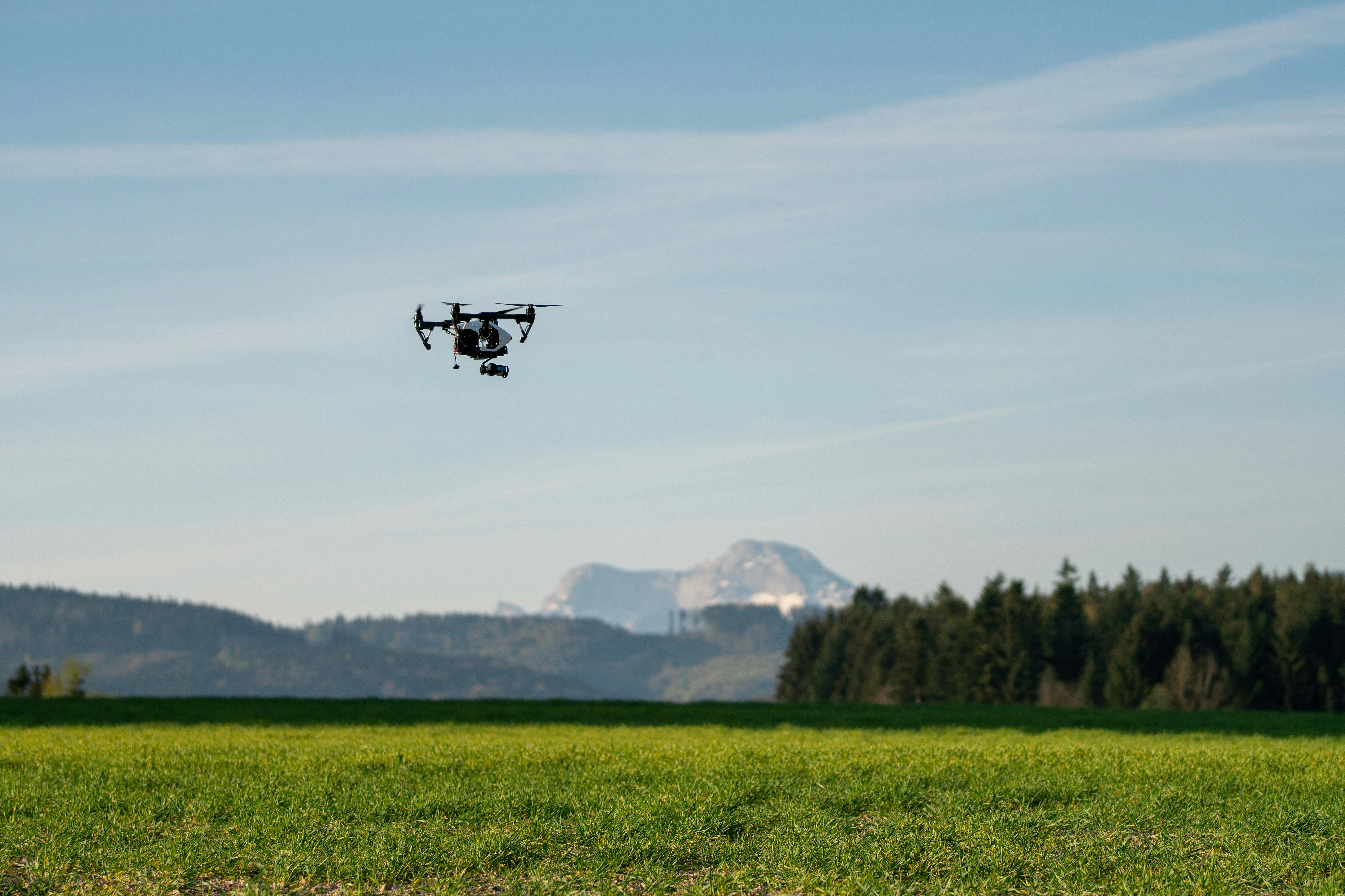
Reliable deer counts are the foundation of effective management. Without accurate population data, cull targets are guesswork, and management plans lack the evidence base they need. HCS Wildlife Management uses drone-assisted aerial surveys alongside traditional counting methods to deliver accurate, verifiable population data across all terrain types — open hill, dense forest, and enclosed ground.
Drone surveys provide an aerial perspective that is particularly effective in areas where traditional foot counts are difficult, impractical, or likely to produce incomplete results — dense conifer plantations, steep ground, and large remote areas that would take days to cover on foot. Combined with traditional vantage point and walked counts, this gives a more complete picture of the deer on your ground.
Drone-assisted aerial surveys complement and improve upon traditional counting methods, giving you a more complete and defensible picture of the deer on your ground.
An overhead view reveals deer in areas that are difficult to observe from ground level — behind ridges, in dense cover, and across broken ground.
Drones survey steep, remote, and inaccessible terrain that would be impractical or unsafe to cover on foot, ensuring no areas are left uncounted.
An aerial perspective covers large areas efficiently, reducing the time and manpower required compared to traditional ground-based counts.
All survey footage is recorded and can be reviewed, verified, and shared — providing an evidence base that stands up to scrutiny from regulators and stakeholders.
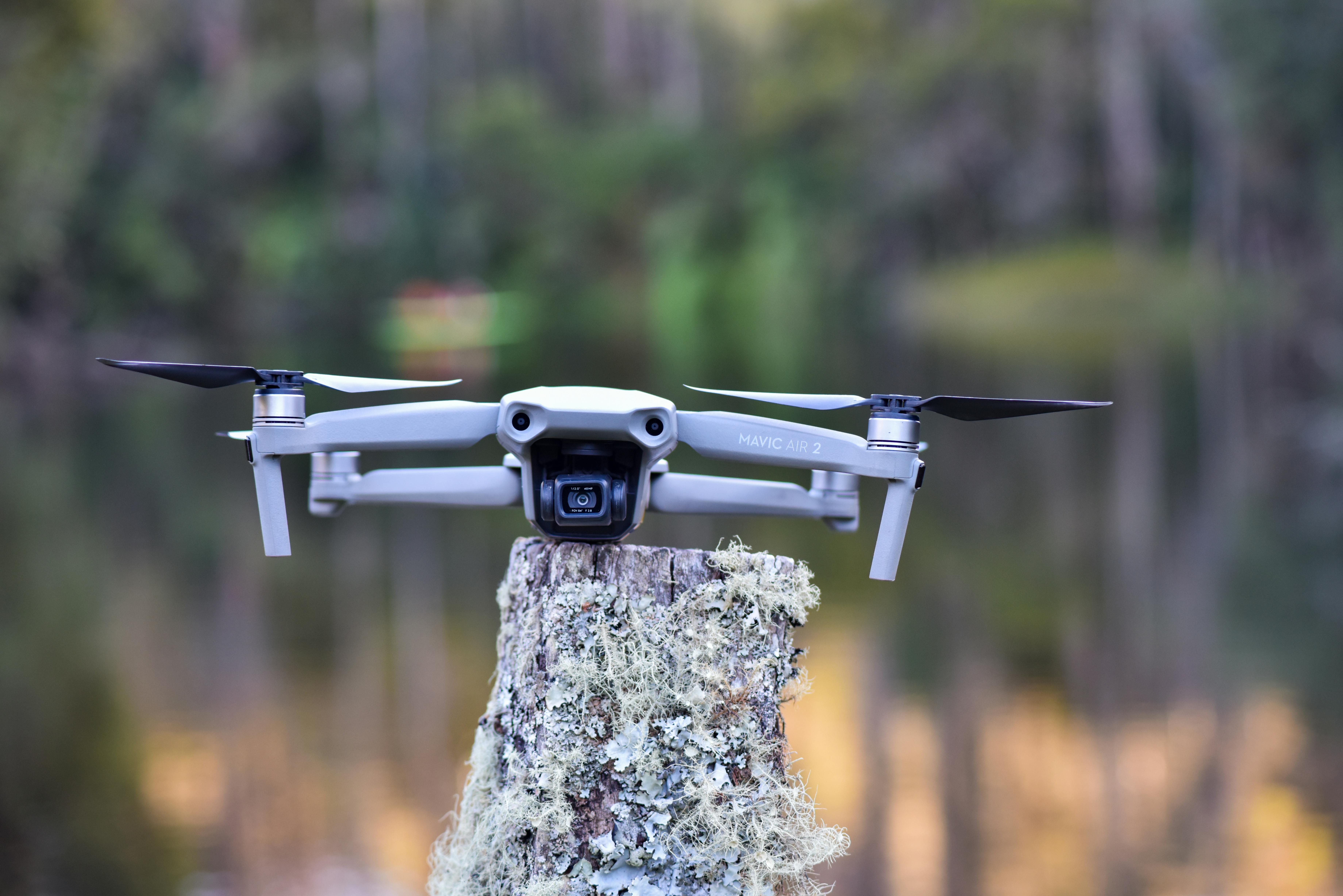
Drone-assisted aerial surveys for efficient population counts across large or difficult ground. The aerial perspective covers terrain that would be impractical to survey on foot, producing reliable data and recorded footage that can be reviewed and verified.
Traditional and drone-assisted population counts during daylight hours across open hill and forest ground. We use a combination of vantage point counts, walked transects, and aerial surveys to build a clear picture of deer numbers and distribution.
Spotlight and lamping surveys to capture nocturnal activity and count deer that are difficult to observe during the day. Night counts are particularly valuable for woodland deer species and for areas where deer move onto agricultural ground after dark.
Population surveys for feral and wild goats using the same proven methodology. Goat populations can be difficult to census due to the terrain they inhabit, making drone-assisted surveys a practical and effective approach for remote and rocky ground.
Identification and documentation of sheep trespass on deer ground, providing clear evidence to support land management discussions and boundary disputes. Drone surveys offer an objective record of livestock presence, timing, and extent of incursion.
Monitoring the integrity of planted exclosures and fenced areas, identifying breaches, fence failures, and deer ingress. Regular aerial checks help you catch problems early and protect the investment in new planting schemes and regeneration projects.
Whether you need a one-off population count or an ongoing monitoring programme, get in touch to discuss your ground and what you need from the data.